June 2026
naturoutes — Route planner
A bike & walking route planner on a map: automatic routing with elevation profile, 100% in the browser and an offline PWA.
- Next.js
- React
- TypeScript
- Tailwind CSS
- Leaflet / OSM
- BRouter
- IndexedDB
- PWA
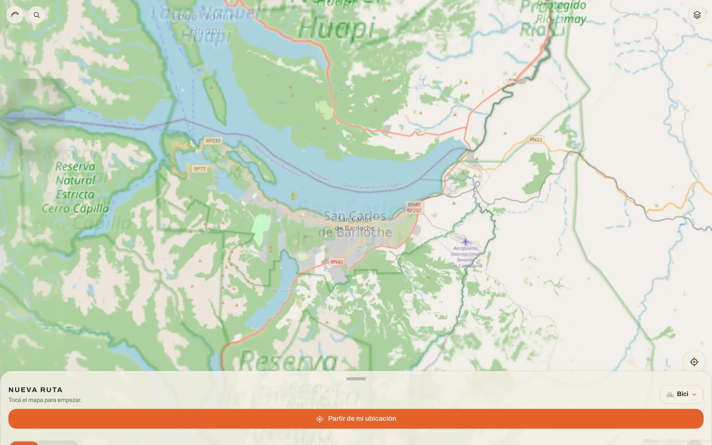
naturoutes plans bike and walking routes on a map. It’s a 100% front-end, no-backend web app: all logic runs in the browser, it’s mobile-first and installable as a PWA (with offline use).
What it does
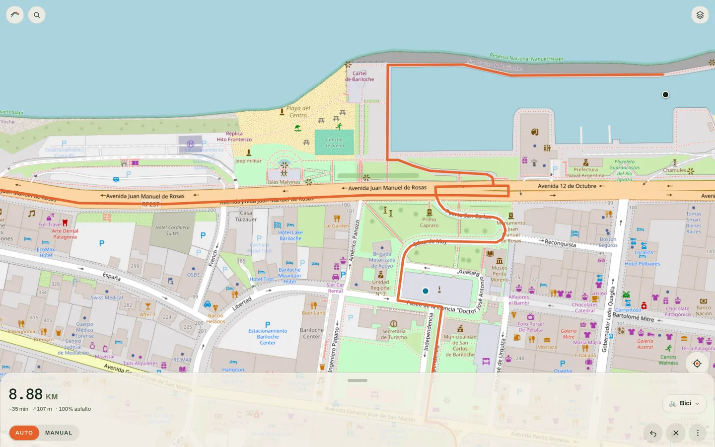
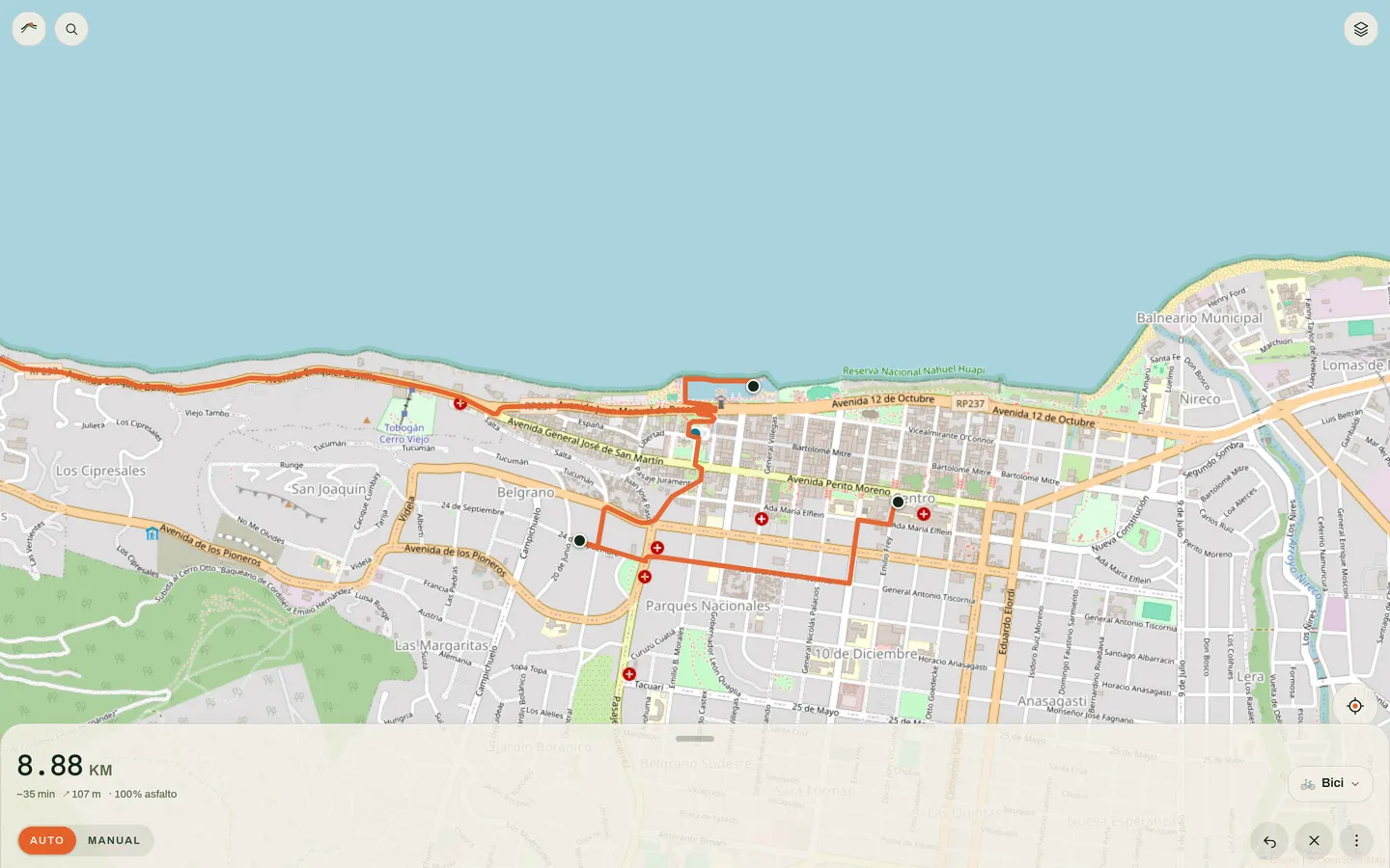
- Mixed routing: automatic via BRouter (bike / MTB / walk profiles, with alternative routes and a straight-line fallback) or manual with reorderable waypoints.
- Interactive elevation profile, distance, estimated time and surface type (% paved). Hovering the profile marks the point on the map.
- Switchable layers: street, satellite, terrain and bike lanes.
- Tools: record your track with GPS (tracking + stats), compass, distance measuring and radius circles.
- POIs (water, refuges, bike) via Overpass and place search with Nominatim, sorted by distance.
- Local storage in IndexedDB, GPX/KML export/import, “Open in Google Maps” and per-area map download for offline use.
How it’s built
- Next.js 16 (App Router,
output: 'export') + React 19 + TypeScript strict + Tailwind v4. - Map with Leaflet + react-leaflet and OpenStreetMap tiles (no tokens or accounts).
- No backend, no secrets: public APIs (BRouter, Nominatim, Overpass) are called straight from the browser, and everything tolerates failure/offline. Static deploy on GitHub Pages.